Reading Nebraska Road Signs: A Local's Guide to Every Shape You Meet
There is a moment, maybe ninety seconds out of every long drive across Nebraska, when a new driver looks at the signs and feels a small spike of uncertainty. A diamond with a squiggle. A rectangle with a number nobody has heard of. A yellow panel that seems to warn about something they cannot identify. It is not a lack of intelligence - it is a lack of context. Nebraska road signs are not unusual, but they are unusually spare, and they lean on a background of weather and terrain that a visitor has not yet learned to read.
After more than three decades of driving these roads for stories, I have come to think of a Nebraska road signs guide less as a list of legal definitions and more as a literacy lesson. The signs tell you what is allowed. The land tells you what to expect. A local reads both at once.
This is my Nebraska road signs guide for locals - the shapes, the ones that catch newcomers out, and the handful of signs that are unmistakably Nebraska.
Why Nebraska Road Signs Are Easier to Read Than Most States'
Start with the good news. Nebraska follows the national standard closely, and if you have driven anywhere else in the country, you already know most of what you are seeing. The shapes are standardized, the colors mean what they mean everywhere, and nothing here is designed to be cryptic.
What makes the Nebraska road sign landscape distinctive is not the signage itself but the space around it. A sign in a city competes with storefronts, turning arrows, and pedestrians. A sign on a Nebraska highway has almost nothing around it. You will often see a warning sign standing alone in a stretch of open prairie, backed by sky, with nothing else for miles.
That isolation makes the signs easier to interpret in one respect and harder in another. Easier, because there is no visual clutter competing for your attention. Harder, because a sign in an empty landscape gives you no reference for how far away the thing it warns you about might be. Two curves can look identical and mean completely different things depending on whether the second one comes at you over a rise.
The habit I recommend is simple: read the sign, then read the road. The sign tells you the category. The road tells you the severity.
The Shapes Every Nebraska Driver Knows
Here is the core of any Nebraska road sign meanings guide, and the order Nebraskans learn them in is the order of shape.
The octagon means stop. This one is universal and non-negotiable. It is also the sign most often treated casually in rural areas, which is exactly the mistake worth avoiding. A stop sign at a rural Nebraska intersection protects a farm driveway that turns onto a road with poor sight lines in either direction.
The triangle means yield. Point down, it is the only inverted triangle you will meet. In practice, a yield sign in Nebraska usually sits on a residential street or an access road where the speed differential is low.
The rectangle is information, not instruction. A white rectangle with a black border and black letters is a regulatory sign - a speed limit, a parking restriction, a one-way arrow, a weight limit. A green rectangle with white letters is a guide sign naming a destination, a route, or a distance. The colors are doing the work: if the rectangle is white, it is telling you what is permitted; if it is green, it is telling you where you are going.
The diamond is a warning. A yellow diamond always describes a physical condition of the road ahead. That is the whole category. When you see a diamond, something about the road itself is about to change - the geometry, the surface, the sight line, or the living things on it.
The pentagon is school. School zones on Nebraska state highways are marked with the familiar school pentagon, and they carry their own set of rules about speed and stopping.
The circle is railroad. A round yellow disc with a black cross means a railroad crossing ahead, and a second disc beneath it means more than one track. A white circle with a black “R” is a railroad crossing controller sign, which means a gate or flasher is actively controlling the crossing.
If you learn nothing else, learn these. They cover nearly every sign on a Nebraska highway, and they are the same shapes you would see in California or New York.
The Nebraska Road Signs That Puzzle Visitors
A few signs stop people cold the first time they see them, and almost all of them are local in nature.
The Nebraska route marker. Every state has a home-state marker, and Nebraskan’s is distinctive: the state outline with “NEBRASKA” running through it. On state highway signs it appears with the highway number, and it is a helpful anchor because Nebraska’s state highway system uses a straightforward numbering scheme - the number tells you roughly which direction you are traveling.
The “O” and other one-letter town names. Nebraska is home to the town of O, which is spelled with a single letter and is genuinely signed that way. It is a famous curiosity, but it is also a real navigational point - the town is where the river and the highway meet.
SANDHILLS BYWAY. The Nebraska Sandhills Byway is a signed scenic route through the Sandhills region in the western part of the state. It exists to slow traffic down, and it succeeds: the speed limit drops, the shoulders narrow, and the scenery changes to something that genuinely looks unlike the rest of the plains.
The Historic 66 shield. U.S. Route 66 still runs across Nebraska, and where the alignment is preserved, you will see the brown-and-white historic route marker pointing you toward the original road. The towns along it - Farnam, North Platte, Ogallala, Ash Hollow - are the ones that kept the 1920s road when the new highway was built somewhere else.
County road markers. These vary by county, and the differences are a genuine source of local pride. A rectangular white sign with the county name and a road number, a black-on-white square, or a small green shield - each county has its own convention, and a local reads county signs the way a sailor reads a flag.
Gravel road and unpaved warnings. Where a paved state highway ends and a county road takes over, the surface can change without much ceremony. Watch for the surface change, not just the shield change.
What Nebraska Road Signs Say About the Land
This is the part that no sign manual teaches and every local learns eventually.
Elk and deer crossing signs are not decorative. Nebraska hosts a large elk population in the Sandhills and the western Pine Ridge, and vehicle collisions with large animals are a genuine seasonal hazard. The signs appear in stretches where crossings are known. Slow down on those particular roads, particularly at dawn and dusk, and do not be surprised if you see wildlife standing in a field at a time of day when you would not expect it.
Ice warning signs in winter are literal. Nebraska gets freezing rain and ice storms, and a road that is fine in January can be genuinely dangerous in February. The “ICE” or “SLIPPERY WHEN WET” signs are posted on curves and bridges, and Nebraska’s bridges freeze before the road around them does.
Wind is the un-signed danger. There is no wind warning sign in Nebraska because there is no standard sign for it. Instead, you learn to read the environment: a row of bare cottonwoods bent permanently in one direction, dust crossing the open road, and a forecast that says “windy” with a number attached. Long-haul drivers in Nebraska will tell you that the biggest difference between an easy crossing and a difficult one is rarely the speed limit. It is the wind.
Grain elevators tell you where the town is. In the farming towns of eastern and central Nebraska, a grain elevator is the tallest thing on the skyline, and often it is the first thing you see. If a town has an elevator, it has a grain economy, and the traffic on the roads around it will be farm traffic regardless of what the sign says.
How to Read a Nebraska Road Sign in One Second
A practical habit that has saved me time for thirty years: process signs in the order they appear, and give each one a fixed amount of attention.
First, the shape. Diamond, octagon, triangle, rectangle. That single step tells you the category before you have read a word, and it removes the need to parse the text at highway speed.
Second, the color. Yellow and white mean regulatory. Yellow diamond means physical hazard. Yellow circle means railroad. Green means destination. Blue means a service you can get, like fuel or food. That is usually the entire answer.
Third, only now, the words. By this point you know what kind of statement you are looking at, and you can read the words with the right expectation.
Fourth, the placement. A sign on the right applies to you. A sign on the left applies to the other lane. A sign over the road applies to everyone. This is the rule that catches the most people on four-lane highways, and it is where most of the near-misses happen.
Fifth, the second sign. Nebraska posts many hazards in pairs - a warning sign followed by a speed advisory or a distance marker. If the first sign said “curve,” the second one will tell you how much of one, and how fast to take it. Slow down at the first sign, not at the second.
A Local’s Checklist Before a Long Drive
Before I set out across Nebraska for a story, I run through a short mental checklist that has kept me out of trouble more than once.
Check the forecast for wind, ice, and visibility, because none of those are signed. Check whether any part of the route is gravel, because traction and stopping distance both change. Note the mileposts, because Nebraska mileposts are numbered and county boundaries fall at specific numbers - they are more useful for orienting yourself than a town name. Confirm that the vehicle has a full tank, because a long rural segment with no services is normal here, not unusual. And know that a phone signal can drop out entirely in the western half of the state, which is another reason the paper map in the glovebox is not a relic.
One more local habit worth adopting: if a sign describes something you are currently looking at - a curve, a dip, a narrow bridge - it is describing something that is genuinely there, and it is closer than it feels. The sign is a courtesy from someone who hit the same feature before you and wanted you to have warning.
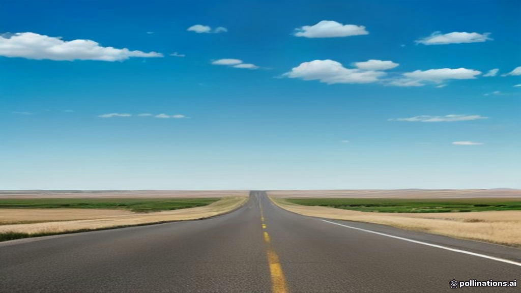
That is really the whole point of a Nebraska road signs guide. Every one of these signs was put up by a person who had a reason. Once you can tell what the reason was, the road stops being a test and starts being a conversation, and driving across Nebraska becomes a good deal easier than it looks from the outside.
If you want a second reference point, I keep a short list of the resources I have leaned on for reading Nebraska road signs and everything else about this state - state maps, mile-by-mile listings, and the county-by-county conventions that turn a confusing stretch of highway into a legible one. Ask for it, and I will send it along. And if you are more interested in the reporting side of Nebraska than the driving side, my guide to investigative journalism in Nebraska covers the same state from a different angle entirely.
Matthew Bovee is an investigative journalist based in Lincoln, Nebraska, with more than 30 years of experience reporting across the state. He is the author of The Settlement Machine and The Aquifer War, and his reporting has earned multiple journalism awards including the George Polk Award and the Gerald Loeb Award.